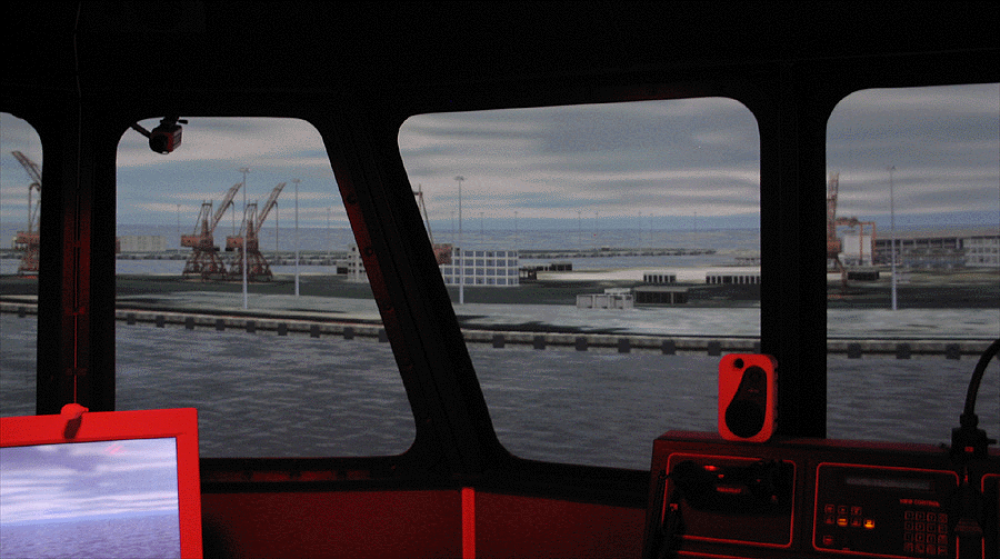
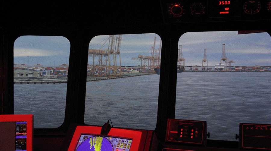
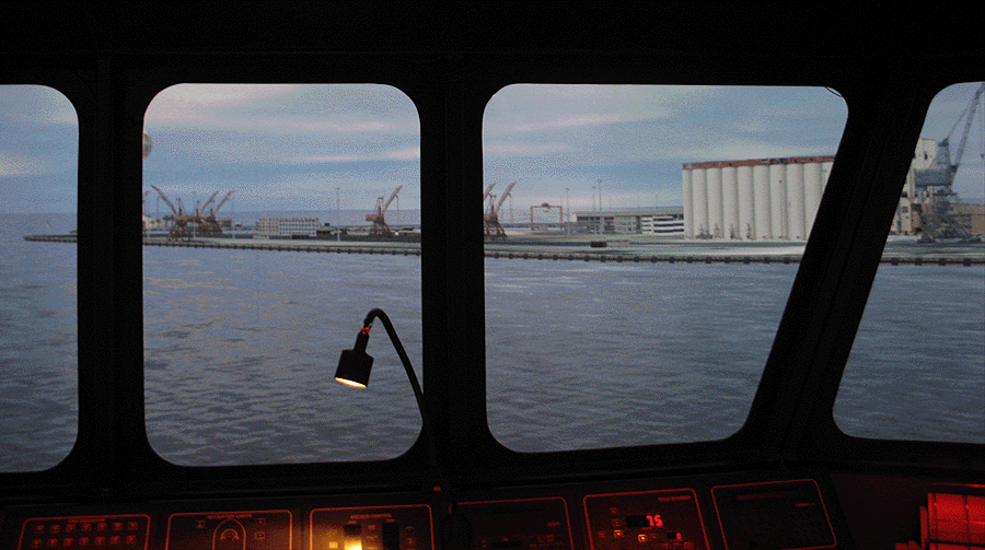
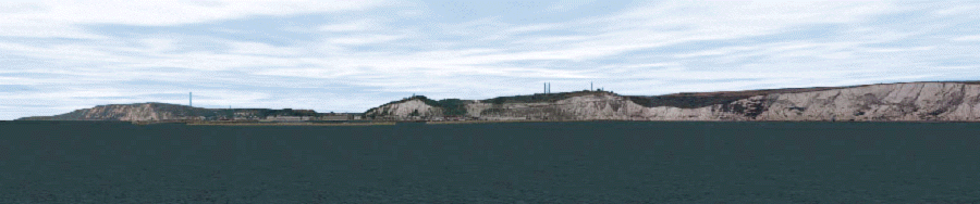
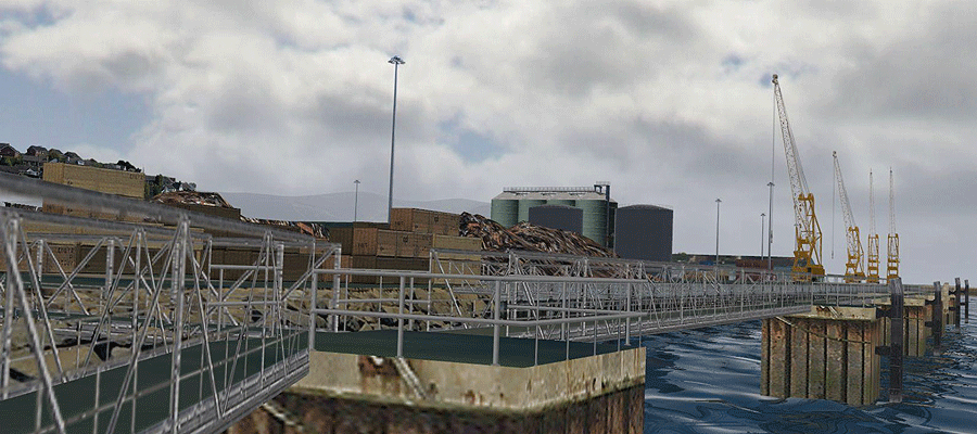
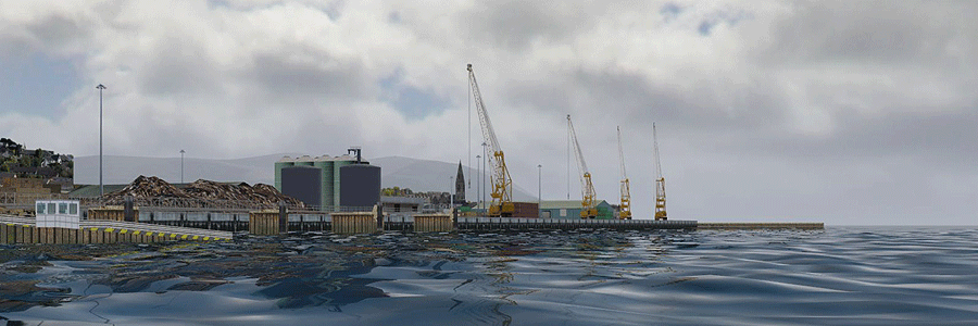
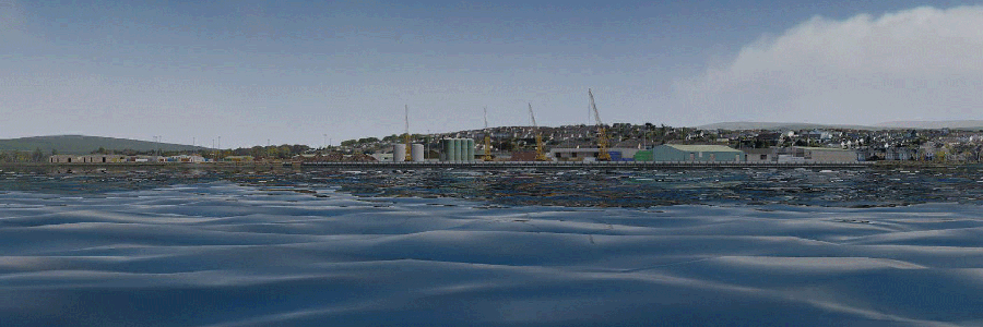
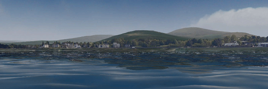
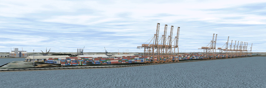
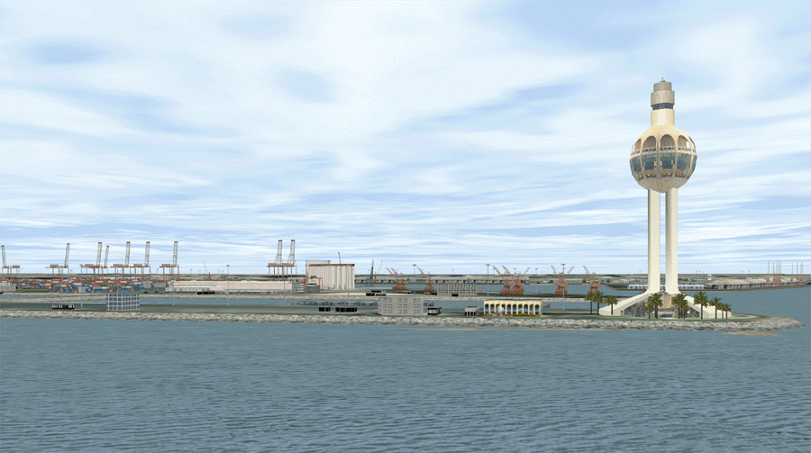
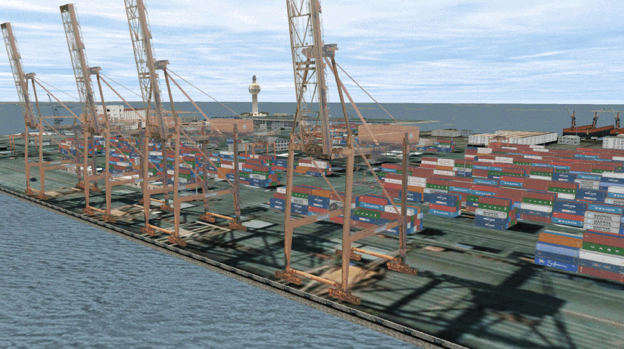
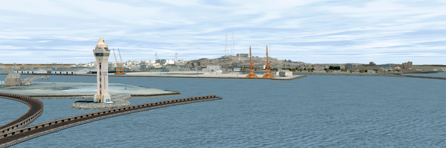
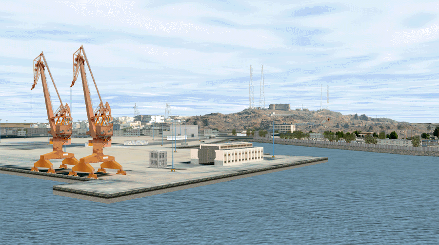
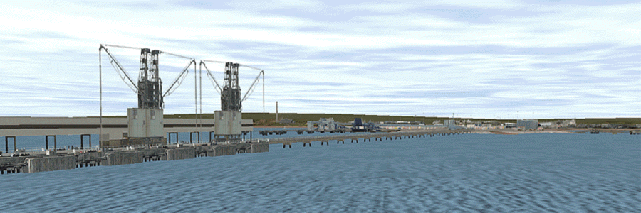
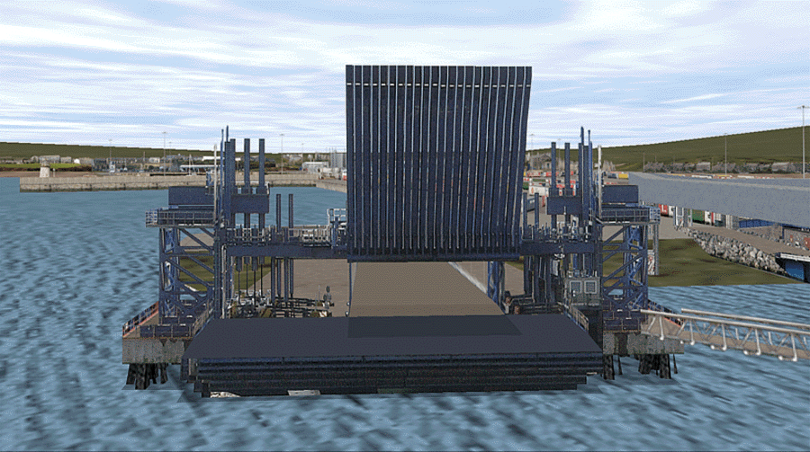
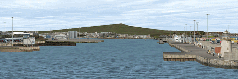
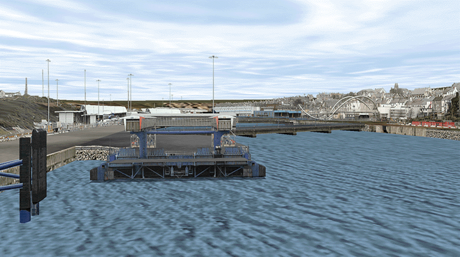
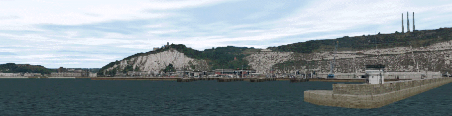
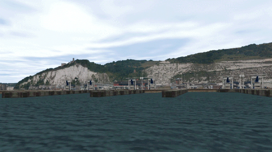
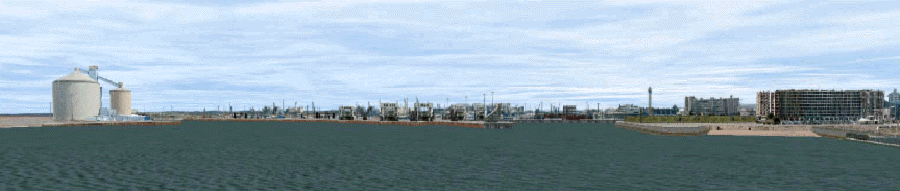
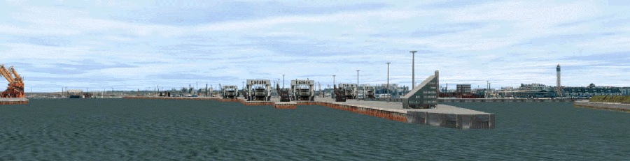
Maritime Simulation Gallery


Carlingford Loch

Carlingford Loch was created to enable crew training safe passage through an awkward channel with submerged rocks and other hazzards. The database contains full unique terrain and geo-specific buildings and maritime features creating an extremely realistic training scenario. Here the scenario can be seen with variable sea state, reflections, lighting and realistic cloud formations and visibility all provided in real-time.


Middle East Ports


The images 
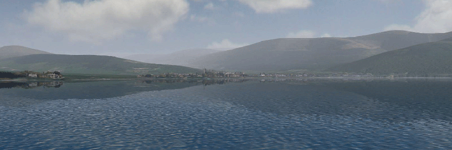
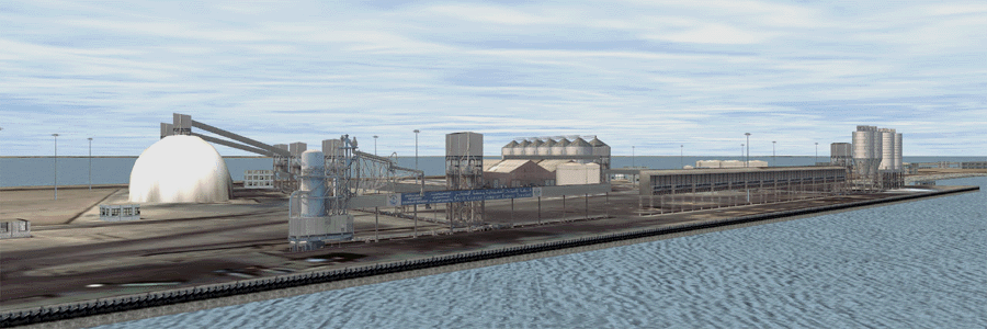
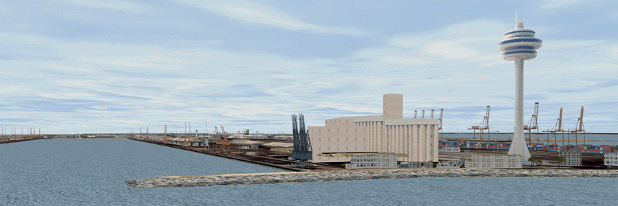
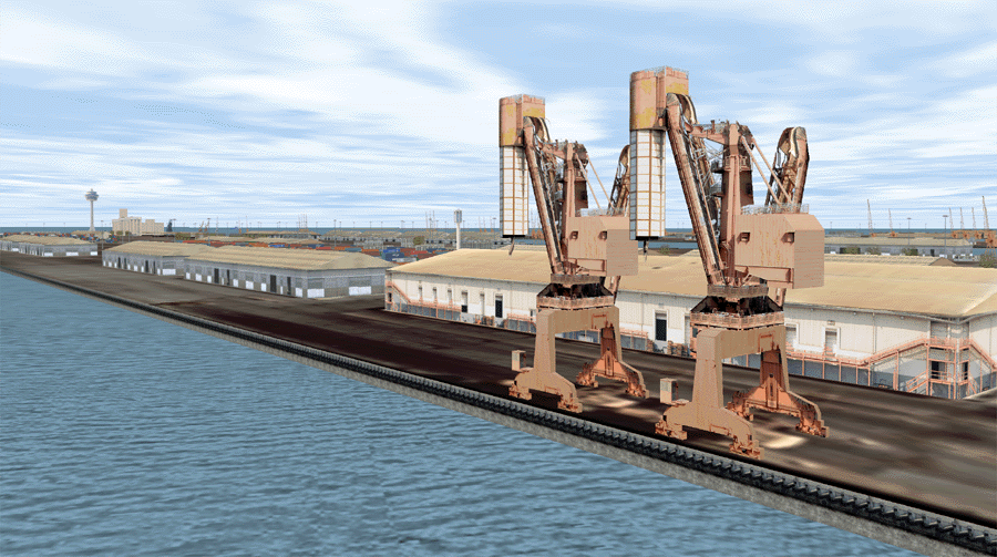
below show just a small selection of Middle East Ports modelled throughout the entire region. The ports shown below are Dammam, Jeddah, and Jizzan. These ports were created for container ship handling providing training in approaching the port through dedicated channels and lighting systems as well as handling of the vessel whithin the port limits including entering and exiting the docking area as well as berthing. These are all fully phototextured with all port structures, buildings and cranes in full real-world detail. The surrounding environments are uniquely phototextured terrain and extends far enough to enable port approaches from several miles out to sea.


Port of Dammam


Port of Jeddah


The images below show views of the port of Jeddah on the simulator with full sea state, reflections etc.


Port of Jizzan


Skye and Kyle of Loch Alsh

The database below consists of the Isle of Skye and Kyle of Loch Alsh areas. The database is built entirely from unique phototexture for buildings and individual features together with DTED and 2m satelite photography for the environment. The database is a combination of 3D modelling and 2D bill-boarding to give a highly realistic and complex look in a very efficient manner.


Port of Holyhead

The following images show Holyhead Harbour. The database is once again built entirely from unique phototexture for buildings and individual features but this time utilises generic terrain. The database is a combination of 3D modelling and 2D bill-boarding to give a highly realistic and complex look in a very efficient manner. After using the simulator the Holyhead Harbour Master was extremely impressed with the accuracy and realism.


Port of Dover


The model below was constructed on a restricted budget and tight time-scale. The Port of Dover model is built entirely from unique phototexture gathered during a ferry crossing. It consists of approximately 16 miles of coastline, harbour walls and jetties, lighthouses and beacons. Whithin the harbour walls is Dover town including all the buildings and beeches etc. The port itself consistes of the port buildings, docking stages etc.. The database is a combination of 3D modelling and 2D bill-boarding to give a highly realistic and complex look very efficiently in as short a time as possible


Port of Calais

The model below was again constructed on a restricted budget and tight time-scale. The Port of Calais is built entirely from unique phototexture gathered during a ferry crossing. It consists of approximately 16 miles of coastline, harbour walls and jetties, lighthouses and beacons. Whithin the harbour walls is Calais town including all the buildings and beeches etc. The port itself consistes of the port buildings, docking stages etc.. The database is a combination of 3D modelling and 2D bill-boarding to give a highly realistic and complex look very efficiently in as short a time as possible